Show scale and setting
Give viewers a better sense of the property's size, landscape, and relationship to the surrounding area.
 Get a Quote↗
Vacant land & development imagery
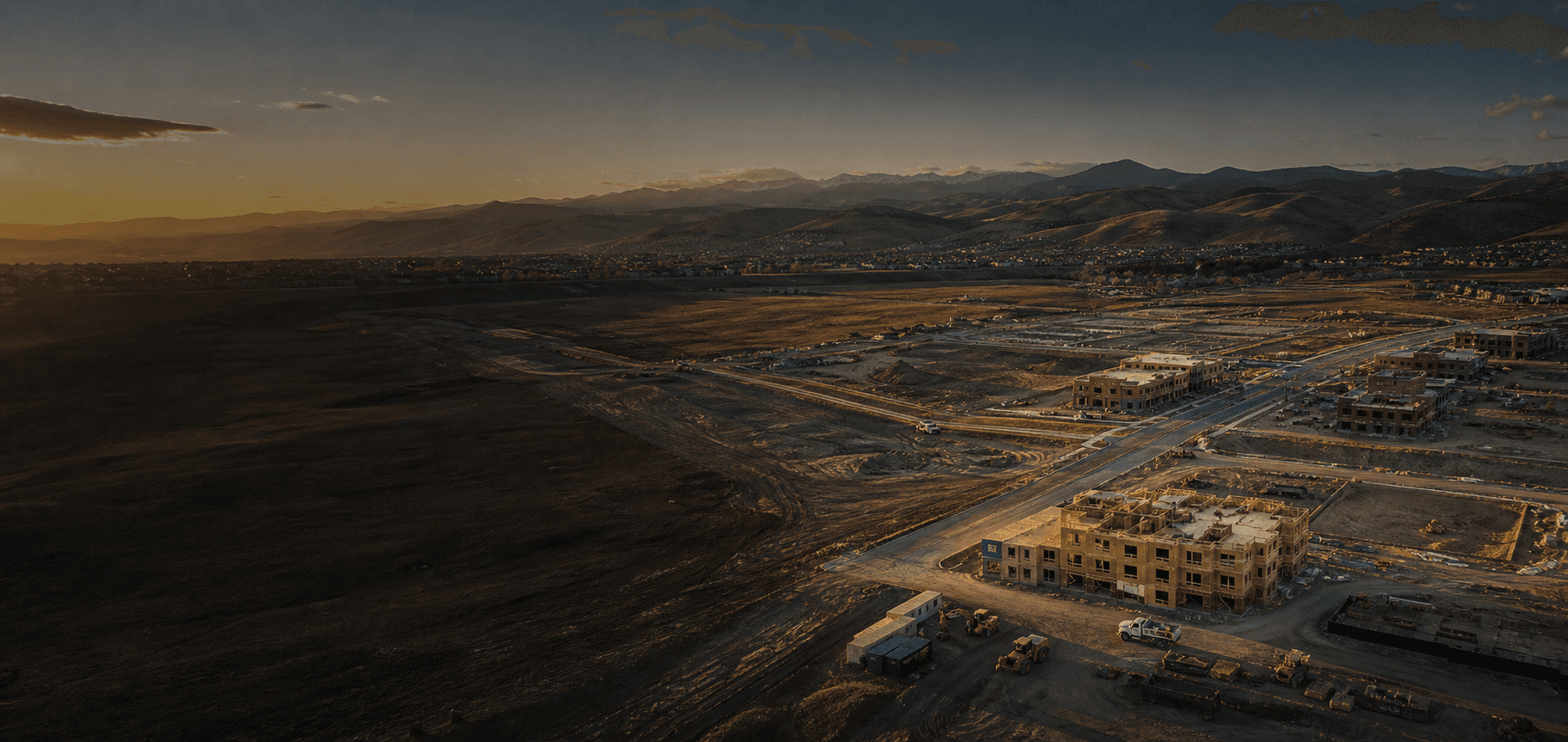
Aerial imagery makes it easier to show a property's scale, access, landscape, and surrounding context from a clear, high-level perspective.
Why vacant land imagery
Clear aerial visuals can make land marketing, early project conversations, and property presentations more concrete by showing the site in its wider setting.
A clearer view of the land
Give viewers a better sense of the property's size, landscape, and relationship to the surrounding area.
Use aerial imagery to help landowners, buyers, and project teams discuss the property with useful visual context.
Bring a stronger visual reference to land marketing, development discussions, and planning meetings.
What you receive
Each flight is planned around the land, the intended use of the imagery, and the overall perspective you need.
How it works
Share the property location, project context, and the kind of perspective you need.
We consider property access, airspace, timing, and the visual goals before the flight.
Get organized aerial visuals ready for your marketing, project conversation, or property records.
Common questions
No. JD Aerial Solutions provides aerial photography and visual documentation only, not licensed surveying, boundary verification, or topographic mapping.
Often, yes. The best approach depends on property size, access, airspace, and the goals of the project. Reach out and we can discuss the scope.
Yes. Aerial imagery can give landowners, buyers, and project teams a clear visual reference before a project moves forward.
Ready to show the land from a better angle?