See the full site
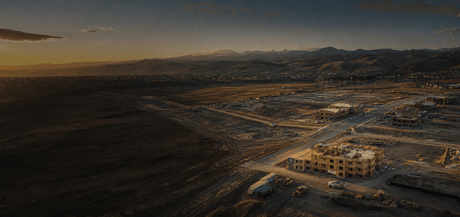
Aerial coverage provides a clear, high-level view that ground photos alone cannot capture.
 Get a Quote↗
Construction progress photography
Clear aerial imagery helps construction teams document progress, share site context, and keep the right people up to date.
Why aerial progress coverage
From a single milestone flight to recurring documentation, aerial imagery gives your team a straightforward visual reference for the work in progress.
Built for the job site
Aerial coverage provides a clear, high-level view that ground photos alone cannot capture.
Give clients, stakeholders, and remote team members an easy way to understand the current stage of work.
Build an organized timeline of the project as it moves from early site work through completion.
What you receive
We tailor each flight around the site, the project schedule, and the people who need to see the work.
How it works
Tell us where the site is, what you need to show, and when the coverage is most useful.
We work around site activity and access requirements to plan a safe, efficient capture.
Get an organized set of aerial visuals that your team can review and share.
Common questions
That depends on your project. Some teams need a one-time overview, while others schedule coverage around key milestones.
Yes. We coordinate with the site team on access, timing, and any relevant safety considerations before the flight.
No. Construction progress photography is visual documentation and is not presented as a licensed surveying or engineering service.
Ready for a better view of your project?