See the full structure
View a building, structure, or site from perspectives that are hard to capture in a single photograph.
 Get a Quote↗
Aerial 3D model visualization
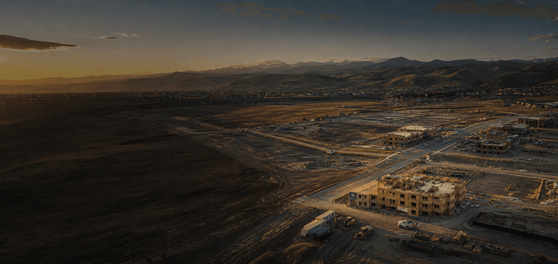
Aerial imagery can be turned into a visual 3D model that gives your team a more complete way to explore a building, structure, or site.
Why 3D models
A 3D model brings aerial coverage together into a single visual experience, making it easier to understand the overall form and context of a structure or site.
Built for a better perspective
View a building, structure, or site from perspectives that are hard to capture in a single photograph.
Give clients, project teams, and stakeholders a clearer way to understand the subject and its context.
Create a useful before-and-after or progress reference as a property or project evolves.
What you receive
Each project is evaluated around the subject, the setting, and the kind of visual result you need.
How it works
Share what you would like modeled, where it is located, and how you expect to use the visual.
We plan the aerial capture around the subject, access, weather, lighting, and project conditions.
The imagery is processed into a 3D visualization and delivered with the supporting project files or viewing option.
Common questions
Buildings, structures, properties, and sites can be good candidates. The best fit depends on the size, access, lighting, and complexity of the subject.
No. This is a visual 3D model made from aerial imagery. It is not a licensed survey, engineering model, or representation of verified measurements.
Not always. Reflective surfaces, moving equipment, dense vegetation, weather, and lighting can affect the result. We can review your project before scheduling.
Ready to see your project from every angle?