Show scale and layout
Give people a high-level view of how the property, access points, and surrounding area fit together.
 Get a Quote↗
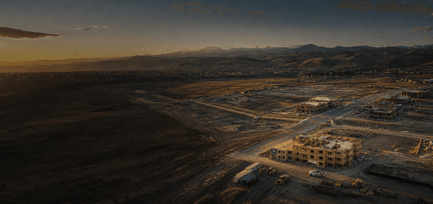
Aerial site overview imagery
High-resolution aerial imagery makes it easier to show a property's layout, scale, access, and surrounding context at a glance.
Why site overview imagery
One well-planned aerial shoot can give clients, owners, and stakeholders a clear visual reference for a property or project without relying only on ground-level photos.
A better project perspective
Give people a high-level view of how the property, access points, and surrounding area fit together.
Use clear aerial visuals to support planning discussions, project updates, and property presentations.
Professional imagery gives your team a clean, useful asset for reports, presentations, and marketing.
What you receive
Each flight is planned around the perspective and context your project needs most.
How it works
Tell us what you want people to see and how you expect to use the imagery.
We coordinate timing, property access, and the best overall perspective for the site.
Get a clean, organized collection of visuals that is ready to review and share.
Common questions
It can help show the scale, setting, access, and overall layout of a property, construction site, development, or commercial location.
Yes. Aerial site imagery is a strong fit for property marketing, proposals, presentations, project updates, and other visual communication.
No. This service provides aerial photography and visual documentation, not a licensed survey, site plan, or engineering deliverable.
Ready to show the full picture?